On this page
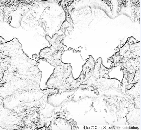
Global RGB bathymetry tileset
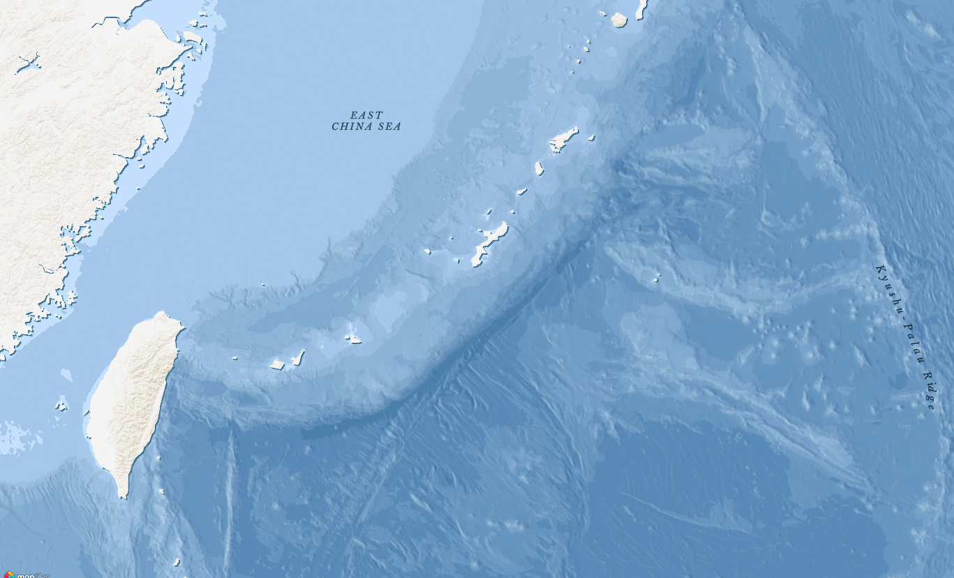
Bathymetry is describing the underwater depth of ocean floors. Together with the topographical data, a global relief model can be created.
The encoding process is the same as in the RGB Terrain by MapTiler: the elevation is split into tiles and each tile has elevations encoded in a WebP image where each pixel color (red, green, blue) can be turned into elevation using a smart formula:
elevation = -10000 + ((R * 256 * 256 + G * 256 + B) * 0.1)
The format allows storing elevations very efficiently (3 bytes vs. 4 or 8 bytes in the case of floating-point numbers) with sufficient precision.
We are already using the dataset as a hillshade layer in the Ocean map: