France Cadastre schema
The vector tile schema describes how the vector data is organized into different thematic layers and which attribute and values each layer contains. This is useful for writing a map style.
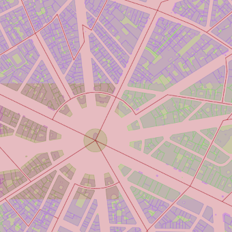
France Cadastral is a tileset containing real estate cadastre information for France. Design of tileset containing the most useful information like parcel, buildings and their numbers, or addresses. Tileset provides the most precise geometry (low scale mapping) with additional information for interconnecting with authorities.
Nevertheless, this Tileset cannot be used for any legal action and in any legal case please contact the competent authority.
Explore the tileset in the interactive map viewer, check the date of the last update, use it as vector tiles, etc.
Definition of layers
The France Cadastre tileset contains the following layers:
batiments #
Polygons of the buildings.
Fields
commune
Commune code.
created
Date of data creation.
nom
Name of the building.
type
Type of the building. 01 for bâtiment dur , 02 for bâtiment léger.
Possible values:
0102
updated
Date of data update.
parcelles #
The main part of the cadastral map defines areas and owners.
Fields
id
Parcel ID defined by the responsible party.
numero
A parcel name is often just a number defined by the responsible party.
arpente
Marks whether the parcel has been surveyed.
Possible values:
falsetrue
commune
Commune code.
created
Date of data creation.
prefixe
Prefix
section
Section ID.
updated
Date of data update.
contenance
Parcel area.
sections #
Sections.
Fields
id
Section ID defined by the responsible party.
code
Code.
commune
Commune code.
created
Date of data creation.
prefixe
Prefix code.
updated
Date of data update.
License
With the use of this API, you must visibly credit these attributions: