Layers
MapTiler Landcover schema
The vector tile schema describes how the vector data is organized into different thematic layers and which attribute and values each layer contains. This is useful for writing a map style.
MapTiler Landcover is a tileset containing coverage of land reflected as polygons for whole world generalized for upper zooms. This tileset is included also in MapTiler Planet.
Explore the tileset in the interactive map viewer, check the date of the last update, use it as vector tiles, etc.
Definition of layers
The MapTiler Landcover tileset contains the following layers:
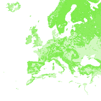
globallandcover #
Landcover with generalized polygons up to zoom 9 with classes - Crop, grass, scrub, tree, forest, snow.
Fields
class
Use the class to assign natural colors for globallandcover.
Possible values:
cropgrassscrubtreeforestsnow
License
With the use of this API, you must visibly credit these attributions: