Layers
MapTiler Ocean schema
The vector tile schema describes how the vector data is organized into different thematic layers and which attribute and values each layer contains. This is useful for writing a map style.
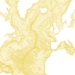
MapTiler Ocean is a tileset that contains contour lines with minimum depth in meters, adjacent polygons with minimum depth for world oceans and seas.
Explore the tileset in the interactive map viewer, check the date of the last update, use it as vector tiles, etc.
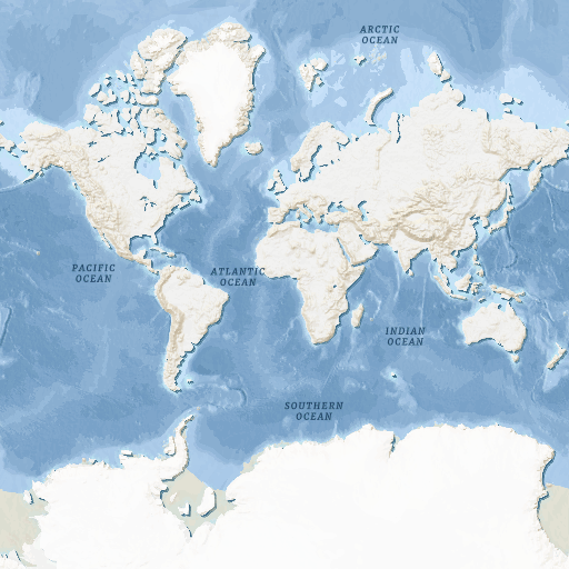
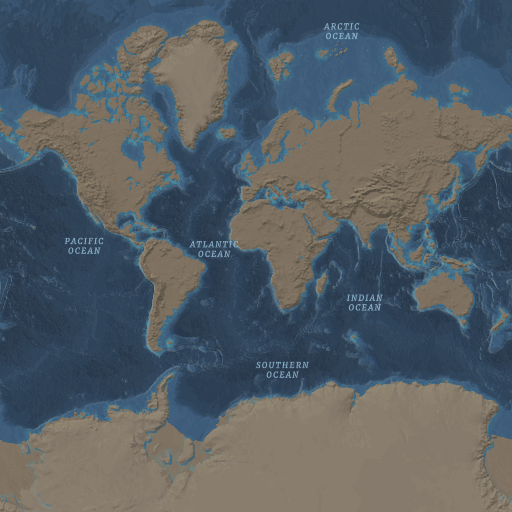
Maps with this tileset
Definition of layers
The MapTiler Ocean tileset contains the following layers:
contour #
Contains polygons of ocean and sea depths.
Fields
depth
Minimal depth value (a negative number).
Possible values:
0-12000
contour_line #
Contains lines of ocean and sea depths.
Fields
depth
Minimal depth value (a negative number).
Possible values:
0-12000
landform #
A landform is any topographic feature on the Earth, e.g., canyons, hills, or ridges.
Fields
name
The name of landform entity.
class
The type of landform entity.
Possible values:
BankCalderaCanyonDeepGuyotHillKnollReefRidgeSeamountShoalValleySea Valley
water_name #
Ocean and sea names.
Fields
name
The name value of the water body.
class
Distinguish between ocean and sea.
Possible values:
seaocean
License
With the use of this API, you must visibly credit these attributions: