SDK JS Modules
Geocoding Control


Graphical component for the Geocoding control in your map application (MapTiler SDK, Leaflet, MapLibre, and more).
Read documentation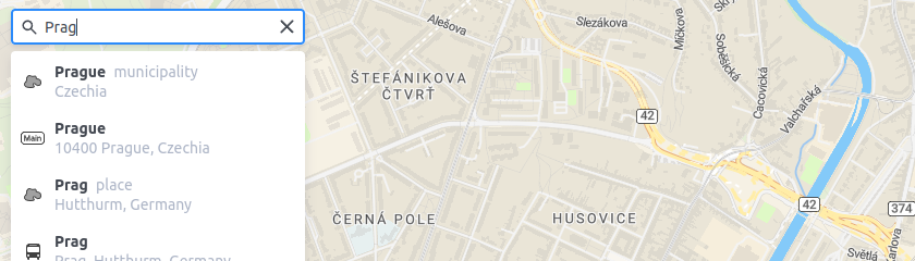
Weather JS module
The Weather JS module for MapTiler SDK contains a set of weather-specific tiled layers to put into your map, just like any layer! Visualize it at 60 frames per second animation.
Read documentation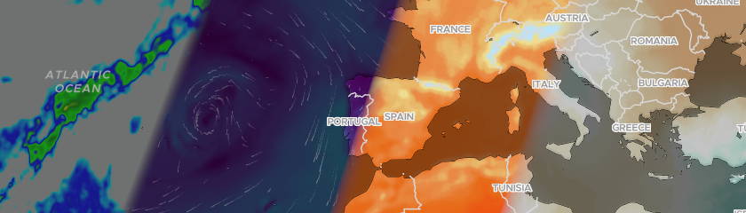
Augmented reality (AR) Control
Add a button on your MapTiler SDK's Map to create a 3D model of the viewport, including 3D terrain and any layer you have put on top.
Read documentation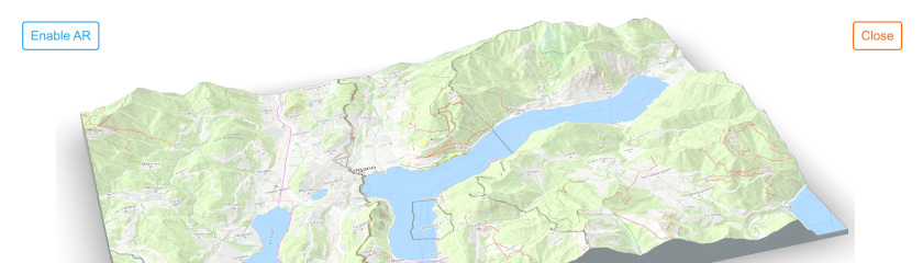
Elevation Profile Control
Elevation profile control for MapTiler SDK is an easy way to show the elevation profile of any GeoJSON trace, with elevation data fueled by MapTiler.
Read documentation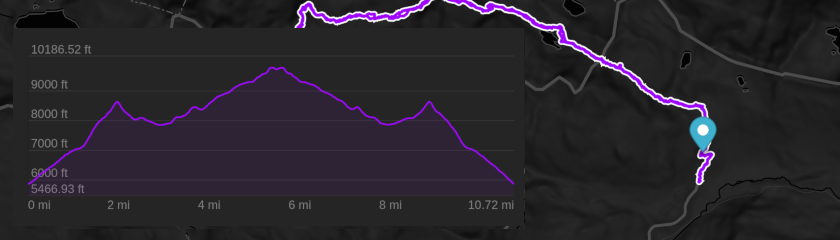
Marker Layout
Create non-colliding marker overlays on top of MapTiler SDK. Fed by a vector layer from a tileset or from a GeoJSON source.
Read documentation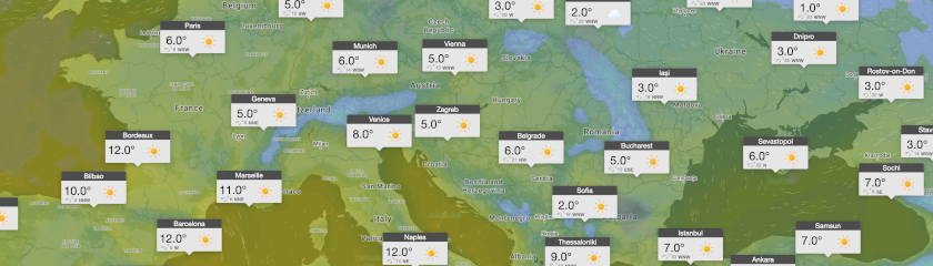
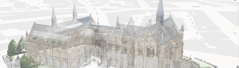
3D objects/models
Add 3D objects to your basemap with plenty of customizations from glTF/glb files.
Read documentation