For AI agents: a documentation index is available at /llms.txt. Markdown versions of all pages are available by appending .md to any URL.
MapTiler Landcover vector data tileset
This page describes the tileset called MapTiler Landcover. It is a vector dataset that contains various classes of land cover worldwide. This article provides an overview of these classes, and it presents the internal structure of the whole dataset. There is also a short mention of usage and attribution.
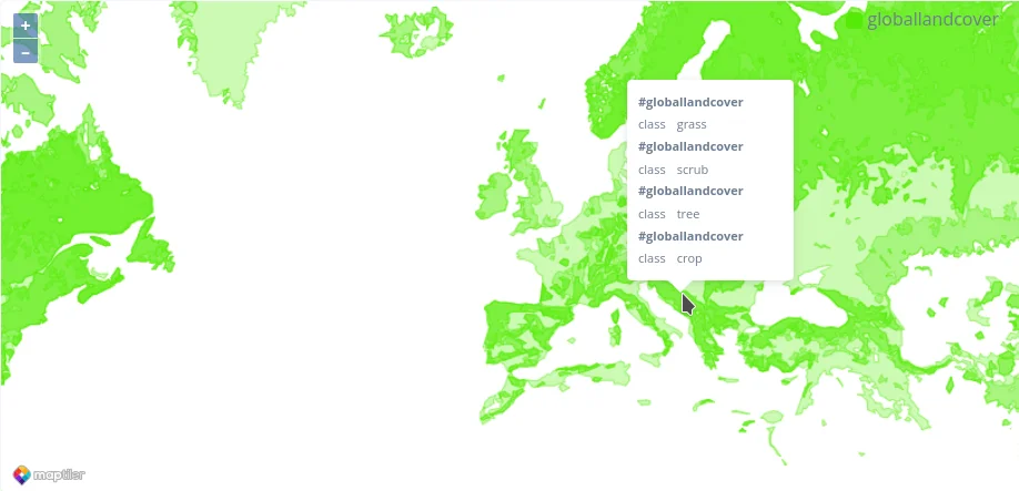
Structure
The structure of the MapTiler Landcover layer is very simple. There is only one layer in the dataset called globallandcover and in this layer, there is the class attribute, which contains information about the land cover class. The available values for the class attribute are:
- crop
- grass
- scrub
- tree
- forest
- snow
Note
The same data are available in the MapTiler Planet tileset MapTiler team created a separate layer for more lightweight maps or applications, which need a different licensing model from the standard one. To find out more, visit the MapTiler (requires login). The Landcover dataset is also available for download for local usage.
Usage examples
Here are a couple of examples of how the MapTiler Landcover layer can be used:
- Create maps that show various landcover classes in an area.
- Perform spatial analysis to understand the relationship between landcover and other factors, such as population density or economic development. This can be very useful, especially in combination with the MapTiler Countries dataset.
Attribution
The MapTiler Landcover layer requires only (c) MapTiler attribution with the link. It is also possible to purchase attribution exemption or get data for self-hosting. If you need it for your use case, please contact the sales team of MapTiler.
Conclusion
The MapTiler Landcover layer is a valuable resource for anyone who needs to work with data about landcover. This dataset is easy to use, and it can be integrated with a variety of different applications. The dataset is also regularly updated, so you can be confident that you are using the latest data. In case you would need to use this dataset without any attribution (you want to hide the OpenStreetMap Contributors attribution), you can purchase a special license. Just contact us here.
Useful links
MapTiler Landcover schema page
MapTiler Landcover for download
MapTIler Landcover in MapTiler
MapTiler Countries dataset