MapTiler Buildings schema
The vector tile schema describes how the vector data is organized into different thematic layers and which attribute and values each layer contains. This is useful for writing a map style.
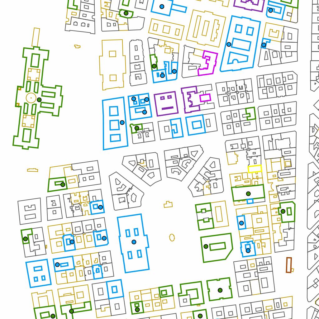
The MapTiler Buildings tileset provides additional building-related layers with enhanced detail (e.g. entrances, names, classification attributes). It is intended for use with MapTiler Planet v4, and together they offer rich building context for everyday mapping applications.
Explore the tileset in the interactive map viewer, check the date of the last update, use it as vector tiles, etc.
Inspect MapTiler Buildings schema
Definition of layers
Definition of layers
The MapTiler Buildings tileset contains the following layers:
building #
Layer containing polygons of building or building part footprints with additional attributes.
Block
builtup
Fields
class & subclass
Classification categories. Corresponds to class & subclass in the building_label layer.
Values:
agricultural
agriculturalbarncowshedfarmfarm_auxiliaryglasshousegreenhousesilostablesty
civic
civicfire_stationgovernmentpublic
commercial
commercialhotelkioskofficeretailsupermarketwarehouse
education
collegekindergartenschooluniversity
entertainment
grandstandpavilionsports_centresports_hallstadium
industrial
factoryindustrialmanufacture
medical
hospital
military
bunkermilitary
outbuilding
allotment_housecarportoutbuildingroofshed
religious
cathedralchapelchurchmonasterymosquepresbyteryreligiousshrinesynagoguetemplewayside_shrine
residential
apartmentsbungalowcabindetacheddormitorydwelling_housegaragegaragesgerhousehouseboathutresidentialsemisemidetached_housestatic_caravanstilt_houseterracetrullo
service
beach_hutboathousedigesterguardhouseserviceslurry_tankstorage_tanktoiletstransformer_tower
transportation
hangarparkingtrain_stationtransportation
facade_color
Hexadecimal color code representing the building façade.
Examples:
#778899#947A58#FF0000
height
Approximate height (in meters), derived from building levels or height attributes (or building part).
Min value:
1
Max value:
850
height_min
Approximate base height (in meters), derived from minimum levels or minimum height attributes of the building or its parts.
Min value:
0
Max value:
583
roof_color
Hexadecimal color code of building roof.
Examples:
#008000#778899#8B4513
roof_shape
Shape of the roof.
Values:
domeflatgabledgambrelhalf_hippedhippedmansardonionpyramidalroundsaltboxsawtoothskillionspherical
underground
Indicates whether the building is underground.
Values:
True
Min zoom:
12
Max zoom:
15 (possible overzooming up to 22)
Unique id
true (from z14+)
building_entrance #
Layer containing points of building entrances.
Block
builtup
Fields
Features of this layer have no attributes.
Min zoom:
15
Max zoom:
15 (possible overzooming up to 22)
Unique id
False
building_label #
Layer containing point labels for named buildings.
Block
builtup
Fields
class & subclass
Classification categories. Corresponds to class & subclass in the building layer.
Values:
agricultural
agriculturalbarncowshedfarmfarm_auxiliaryglasshousegreenhousesilostablesty
civic
civicfire_stationgovernmentpublic
commercial
commercialhotelkioskofficeretailsupermarketwarehouse
education
collegekindergartenschooluniversity
entertainment
grandstandpavilionsports_centresports_hallstadium
industrial
factoryindustrialmanufacture
medical
hospital
military
bunkermilitary
outbuilding
allotment_housecarportoutbuildingroofshed
religious
cathedralchapelchurchmonasterymosquepresbyteryreligiousshrinesynagoguetemplewayside_shrine
residential
apartmentsbungalowcabindetacheddormitorydwelling_housegaragegaragesgerhousehouseboathutresidentialsemisemidetached_housestatic_caravanstilt_houseterracetrullo
service
beach_hutboathousedigesterguardhouseserviceslurry_tankstorage_tanktoiletstransformer_tower
transportation
hangarparkingtrain_stationtransportation
name
Primary (local or official) name of the building.
Examples:
Casa MilàEmpire State Buildingبرج خليف
name:{code}
Localized name of the building in a specific language (when a translation exists that is different from the primary name).
{code} represents ISO 639 language code.
rank
Importance of the building. Lower values indicate greater importance.
Min value:
1
Max value:
6893
Min zoom:
15
Max zoom:
15 (possible overzooming up to 22)
Unique id
True
languages #
List of possible languages available in Buildings tileset.
Read more in the article about Change language in a map.
Fields
name:{code}
Localized name of the feature in a specific language (when a translation exists that is different from the primary name).
{code} represents ISO 639 language code.
Values:
am(Amharic)ar(Arabic)az(Azerbaijani)be(Belorussian)bg(Bulgarian)bn(Bengali)br(Breton)bs(Bosnian)ca(Catalan)co(Corsican)cs(Czech)cy(Welsh)da(Danish)de(German)el(Greek)en(English)eo(Esperanto)es(Spanish)et(Estonian)eu(Basque)fa(Persian)fi(Finnish)fr(French)fy(Western Frisian)ga(Irish)gd(Scottish Gaelic)he(Hebrew)hi(Hindi)hr(Croatian)hu(Hungarian)hy(Armenian)id(Indonesian)is(Icelandic)it(Italian)ja(Japanese)ja_kana(Japanese Kana form)ja_rm(romanization of Japanese)ja-Latn(romanisation of Japanese since 2018)ja-Hira(Japanese Hiragana form)ka(Georgian)kk(Kazakh)kn(Kannada)ko(Korean)ko-Latn(romanization of Korean)ku(Kurdish)la(Latin)lb(Luxembourgish)lt(Lithuanian)lv(Latvian)mk(Macedonian)mt(Maltese)ml(Malayalam)nb(Norwegian Bokmål)nl(Dutch)nn(Norwegian Nynorsk)no(Norwegian)oc(Occitan (post 1500))pa(Punjabi)pnb(Western Punjabi)pl(Polish)pt(Portuguese)rm(Romansh)ro(Romania)ru(Russian)sk(Slovak)sl(Slovene)sq(Albanian)sr(Serbian, Cyrillic)sr-Latn(Serbian)sv(Swedish)ta(Tamil)te(Telugu)th(Thai)tr(Turkish)uk(Ukrainian)ur(Urdu)vi(Vietnamese)zh(Chinese)zh-Hant(Traditional Chinese)zh-Hans(Simplified Chinese)
License
With the use of this API, you must visibly credit these attributions: