Layers
JP GSI Building schema
The vector tile schema describes how the vector data is organized into different thematic layers and which attribute and values each layer contains. This is useful for writing a map style.
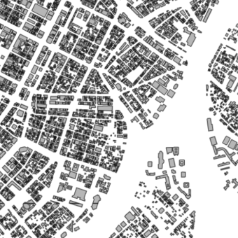
GSI Building is a tileset that contains vector polygons of building footprints provided by the Geospatial Information Authority of Japan.
Explore the tileset in the interactive map viewer, check the date of the last update, use it as vector tiles, etc.
Definition of layers
The JP GSI Building tileset contains the following layers:
gsi_building #
Polygons of building footprints.
Fields
type
Building type
Possible values:
不明- unknown堅ろう建物- robust building堅ろう無壁舎- robust wall house普通建物- ordinary building普通無壁舎- ordinary wallless house
License
With the use of this API, you must visibly credit these attributions: