Export your vector data to GeoJSON
When you’ve prepared your vector data in Vector Data Editor, you can use it in desktop GIS software such as QGIS or ArcGIS. To make that possible, download the dataset as a GeoJSON file:
-
Save your dataset to make it available for download.
-
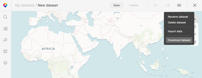
Open the menu in the top right corner and select Download dataset.
Now you can upload your dataset to a GIS application and use it there.
Convert GPX, KML, and Shapefile to GeoJSON
Our Vector Data Editor also works as a geodata converter. Import your data in any supported format (GPX, KML, Shapefile) and download in GeoJSON format as described on this page.
On this page