How to display disputed borders based on visitor’s location
This tutorial shows how to automatically change disputed borders based on the geographical location of your map visitor’s location using the MapTiler Geolocation API.
By following this tutorial, you will be able to dynamically adjust disputed borders based on the location of the person accessing the map on your application or according to the official policy of the country your visitor joined from. The MapTiler Geolocation API serves as a powerful tool in achieving this functionality.
-
Copy the following code, paste it into your favorite text editor, and save it as a
.htmlfile.
-
Replace
YOUR_MAPTILER_API_KEY_HEREwith your actual MapTiler API key. -
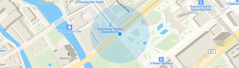
The next is up to you. You can center your map wherever you desire (modifying the
starting position) and set an appropriate zoom level (modifying thestarting zoom) to match your users’ needs. Additionally, you can change the map’s look (by updating thesource URL); choose from a range of visually appealing map styles from our extensive MapTiler standard maps, or create your own to truly differentiate your application.
-
Create the
showDisputedBordersfunction. This function changes the filters of the disputed border layers to show or hide the borders depending on the country’s policy. -
Add event handler for map
loadevent. You will add code to change disputed borders according to your map visitor’s location in this handler. -
Get the user’s IP country code and call the
showDisputedBordersfunction.
Learn more
Check out the tutorials How to center map based on visitor’s location, How to change the map labels language based on visitor’s location and How to display the cookies consent bar according to the visitor’s location.
Visit the MapTiler Geolocation API reference for Geolocation response object properties. Like for example, the name of the country, the city, etc.
Visit the MapTiler Planet schema to know how it is organized into different thematic layers and which attribute and values each layer contains.
Learn more about Disputed borders on your maps
Check out the List of disputed border names and tags