MapTiler Schemas
The vector tile schema describes how the vector data is organized
into different thematic layers and which attributes and values each
layer contains. This is useful for writing a map style.
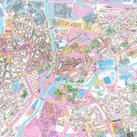
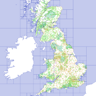
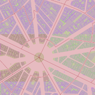
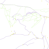
MapTiler Planet v4
Next generation of the global vector tileset, designed for both professional cartographers and map designers.
Learn more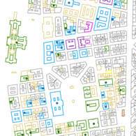
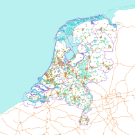
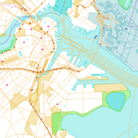
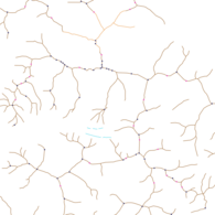
MapTiler Planet Lite
Tileset containing general layers with topographic information for an attribtution free map.
Learn more
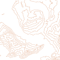
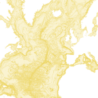
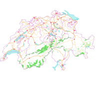
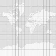
MapTiler Ocean
Tileset containing isolines and areas of equal depths of world oceans and seas.
Learn more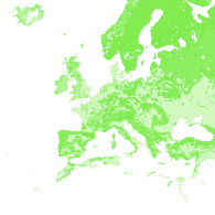
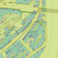
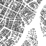
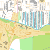
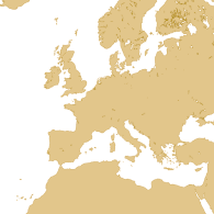
MapTiler Cadastre
Tileset containing cadastral layers, parcel information, buildings, etc.
Learn more