MapLibre GL iOS Documentation
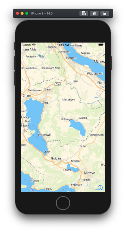
MapLibre GL Native for iOS is a native mapping library based on OpenGL. Using MapLibre GL Native for iOS with vector tiles from MapTiler gives you a beautiful and smooth experience from map browsing. MapLibre loads vector tiles and style from hosting and draws a map on the device.
Create a PWA with MapTiler SDK JS
You can also develop your mobile PWA using HTML/CSS/JS/ with MapTiler SDK JS.
How to create a mobile PWA with MapTiler SDK JS
Get Started With MapLibre GL Native for iOS
Get your FREE API key and follow a simple tutorial to implement your first iOS application using MapLibre and MapTiler.
On iOS, you can develop user interface either using UIKit framework or SwiftUI framework. Unlike UIKit, which is commonly used in conjunction with storyboards, SwiftUI is completely code-based. SwiftUI syntax is very easy to understand, and a SwiftUI project can be quickly viewed using Automatic Preview.
Get Started (SwiftUI) Get Started (UIKit)
Getting Started - MapTiler Swift SDK
You can also develop your applications using MapTiler SDK iOS.
Getting Started - MapTiler Swift SDK
Get Started With MapLibre GL JS for React Native
You can also develop your applications using React Native.
Get Started With MapTiler GL JS for Flutter
You can also develop your applications using Flutter.
Tutorials
API Reference
Visit iOS API Documentation to view the MapLibre Native API for iOS documentation.